idaho Trails

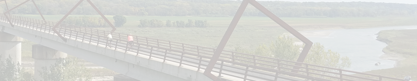
The " Great American" Route Through Idaho

Idaho is primed to carry the Great American Rail-Trail across its state, with the vast majority of the preferred route already existing. When complete, the trail will create a seamless connection from Mullan to Plummer and the Idaho-Washington border.


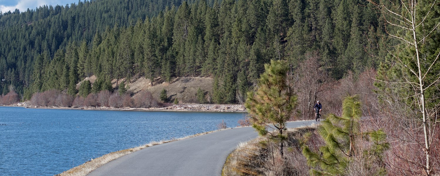
The host trails that make up a majority of this route include two Rail-Trail Hall of Fame trails: the NorPac Trail and the Trail of the Coeur d’Alenes—the latter of which was part of a historic environmental mitigation and cleanup effort led by the Coeur d’Alene Tribe. Known for their exceptional views of the rugged and beautiful Idaho landscape, the trails have helped to spur outdoor tourism and recreation across the Idaho Panhandle.

90+
TOTAL MILES

79+
EXISTING
TRAIL MILES

2
EXISTING
TRAILS

88%
COMPLETE

Discover History on the Trail

Diplomatic Reception Rooms

In these 42 rooms, members of the U.S. Department of State meet with diplomats, entertain foreign leaders and engage in other activities of...

Trail: Great American Rail-Trail
State: DC
Architecture Politics, Policy & Justice
Duke Ellington's Birthplace

Edward Kennedy “Duke” Ellington was born in 1899 in a house that used to exist on this site. Today it’s a post office but a mural (by Aniekan Udofia)...

Trail: Rock Creek Park Trails
State: DC
Arts, Entertainment & Sports Black History
Godey Lime Kilns

To find these cool ruins from the 19th century, you’ll have to trek a bit off the beaten path—from the intersection of L Street Northwest and 26th...

Trail: Great American Rail-Trail
State: DC
Architecture Commerce, Economy & Work
See All History

Indiana Trail Reviews

Be sure to plan around wildfire smoke in the late summer.

Be sure to plan around wildfire smoke in the late summer.

Does not always follow the NorPac rail line

Despite the name NorPac, the trail doesn't always follow the NorPac rail. Sometimes if follows the NorPac access road. Sometimes it follows the forest service roads created on the old NorPac rail line. Sometimes it follows forest service/County roads that don't have anything to do with the rail line. The maps of the route vary greatly. The one here on TrailLink seems as close as it could be. It matches what Garmin put into their biking map in the bike computer. It was easier to follow the Garmin map than any of the others. Most of the signs pointing out the route are gone so if you don't have a bike computer like the Garmin, it can be difficult to figure out where the trail goes in a couple spots like the pass, Taft, and Saltese. The Borax tunnel is collapsing so there is a bypass route. It's easy to find, just turn on the road when the big sign says road closed. You can still ride down to the tunnel to see the Borax tunnel. It's easier to see the collapsing from the bottom end of the tunnel. If you are coming from Mullan, the trail head from Larsen to the Yellowstone trail trailhead is really hard to find. Just get to the sign about the Hale Fishery and turn left. There is a good signage where it crosses the road to the snowmobile parking area/Yellowstone trail. The road was not difficult to ride. There are a lot of potholes but they are easy to get around. There are a couple of places where I'm not sure what the road builders for the forest service were thinking. With the exception of the bypass at the Borax tunnel, it's all easy to bike in both directions. The Borax Tunnel bypass is easy to bike down but going up is a hike-a-bike section. It's not long. The pass going from Mullan to Saltese is confusing if you don't have a map on your bike computer. The actual trail goes through the equipment parking area. The paved road to the left will get you down the pass to Taft, but it is not the trail. The trail swings out to some beautiful scenery, the paved road follows I-90 for the most part so it's noisy and not the best paved road I've ever ridden. At Saltese you can jump up to the Route of the Olympian. Do it at the sign about 1/2 mile before Saltese. Doing the hike-a-bike up the road at the trestle in Saltese is quite the uphill push. There is a sign telling you where to go up to access the upper route. It's a sign for four wheel vehicles, not bikes, so be aware of that. From there to St. Regis, the Route of the Olympian is fairly level, slightly downhill, and follows the St. Regis river for the most part. I parked at Taft and road up and over to Mullan so the trail made more sense. Then I biked back to St. Regis. 64 miles total but two beautiful trails. Neither trail had much traffic but they did have some so keep an eye out. In 64 miles I saw three ATVs and one group of six dirt bikes. Not much at all for that distance. I did ride on a Sunday so I expected more. I don't know how to post photos so some of this would be more clear. It was quite enjoyable and I'll likely do it again next year.

Explore by City

Explore by City

Explore by Activity

Explore by Activity

Log in to your account to:

  • View trail paths on the map
  • Save trails to your account
  • Add trails, edit descriptions
  • Share photos
  • Add reviews

Log in with Google

Log in with Apple

OR

Register for free!

Join TrailLink (a non-profit) to view more than 40,000 miles of trail maps and more!

Register with Google

Register with Apple

OR

Your account has been deleted.