indiana Trails

The " Great American" Route Through Indiana

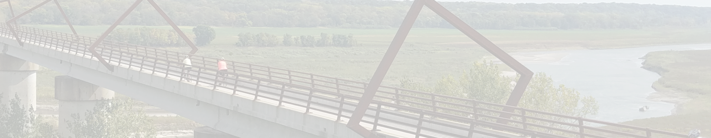
A dozen trails will host the preferred route of the Great American Rail-Trail in Indiana—which will take a diagonal trajectory across the state from Richmond to the Chicago metropolitan area. The route is hosted by well-loved trails such as the Cardinal Greenway, which connects the eastern side of the state to urban Muncie and Marion, and the Nickel Plate Trail—which features the famous bucolic corn-belt landscapes the Hoosier State is known for.


When RTC met with officials from the Indiana Department of Transportation to discuss possible routing options in the state, they were so excited about the potential of the Great American Rail-Trail that they asked RTC to consider including as many trail miles as possible in Indiana. Later, in September 2018, Indiana Gov. Eric Holcomb announced the state’s Next Level Connections program, a $1 billion investment in infrastructure projects including trails, which will be important to completing a trail across Indiana.

215+
TOTAL MILES

118+
EXISTING
TRAIL MILES

9
EXISTING
TRAILS

55%
COMPLETE

Discover History on the Trail

Diplomatic Reception Rooms

In these 42 rooms, members of the U.S. Department of State meet with diplomats, entertain foreign leaders and engage in other activities of...

Trail: Great American Rail-Trail
State: DC
Architecture Politics, Policy & Justice
Duke Ellington's Birthplace

Edward Kennedy “Duke” Ellington was born in 1899 in a house that used to exist on this site. Today it’s a post office but a mural (by Aniekan Udofia)...

Trail: Rock Creek Park Trails
State: DC
Arts, Entertainment & Sports Black History
Godey Lime Kilns

To find these cool ruins from the 19th century, you’ll have to trek a bit off the beaten path—from the intersection of L Street Northwest and 26th...

Trail: Great American Rail-Trail
State: DC
Architecture Commerce, Economy & Work
See All History

Indiana Trail Reviews

Nice RT Richmond to Gaston

A few days ago we rode round trip from Richmond to Gaston, stopping for an overnight in Muncie. Overall it's a really nice trail. The only knock is that it starts to approach the "tunnel of trees"- pretty much that and farmland. Suggest taking a little detour to the Prairie Creek Reservoir area.

Pluses: a consistent, wide trail that is generally well maintained with a lot of rest stops, clean bathrooms, & shelters. Minuses: there are a few sections with cracked pavement, but they are well marked; created our own detour around the I-70 closure on-road.

A shout out to Dan at cycling and fitness Warehouse to letting us leave our car there overnight. It would be nice if the trail organizers came up with a safe spot at City Hall or something similar.

Note there is no closure at railroad bridge in Richmond. Only I-70.

Short trail itself but a nice addition to the connecting Sweetser switch trail and the Cardinal Greenway .

Short trail itself but a nice addition to the connecting Sweetser switch trail and the Cardinal Greenway .

Trail is closed at Rt. 30 heading North from Erie Lackwana trailhead.

Trail is closed at Rt. 30 heading North from Erie Lackwana trailhead.

This is my home area trail. It's going to need some work soon but is great over all.

This is my home area trail. It's going to need some work soon but is great over all.

Accordion

Nice trail. Hopefully it does connect to Erie trail out of North Judson one day. If it does it needs to stay one one side since HVRM owns right of way to Monterey. This be nice trail if both railroad and trail share same ground!

Nice trail. Hopefully it does connect to Erie trail out of North Judson one day. If it does it needs to stay one one side since HVRM owns right of way to Monterey. This be nice trail if both railroad and trail share same ground!

Good trail, liner than expected

This trail was very good, highly recommend for people. The gap in between has lots of areas to eat, so you can’t get hungry. Some of the fast food places and grocery stores are McDonald’s, Burger King, Wendy’s, Arby’s, Subway, Kroger, and ALDI. Just a note, this trail can reach around 10 miles farther than what the trail says, if you start at Fansler Park in Rochester. Very well paved, not many bumps. It would take about 25 miles to reach Peru, which is the middle town. The road section is pretty short, around 3-3.5 miles. From there, it will take you another 20-ish miles to reach the end. However, the end leads to another trail, which goes to a splash pad and some parks, great for the early summer and late spring. We visited in the fall, but you might have an even better experience in the warmer seasons.

Nice Suburban Trail

Some areas could use some resurfacing but overall good trail.

my favorite trail

Run in this trail and the connecting converse junction trail several times a week. Feels like a safe place, lots of shade, pretty flat. Kept in good shape.

Nice Trail

This is a really nice trail however it’s too short and wish it connected to more paths.

Explore by City

Explore by City

Explore by Activity

Explore by Activity

Log in to your account to:

  • View trail paths on the map
  • Save trails to your account
  • Add trails, edit descriptions
  • Share photos
  • Add reviews

Log in with Google

Log in with Apple

OR

Register for free!

Join TrailLink (a non-profit) to view more than 40,000 miles of trail maps and more!

Register with Google

Register with Apple

OR

Your account has been deleted.